It starts in the area of Frosinone from the confluence between the Liri, which first crosses Abruzzo and Lazio, and the Gari, which rises at Cassino and is often called Liri-Garigliano.
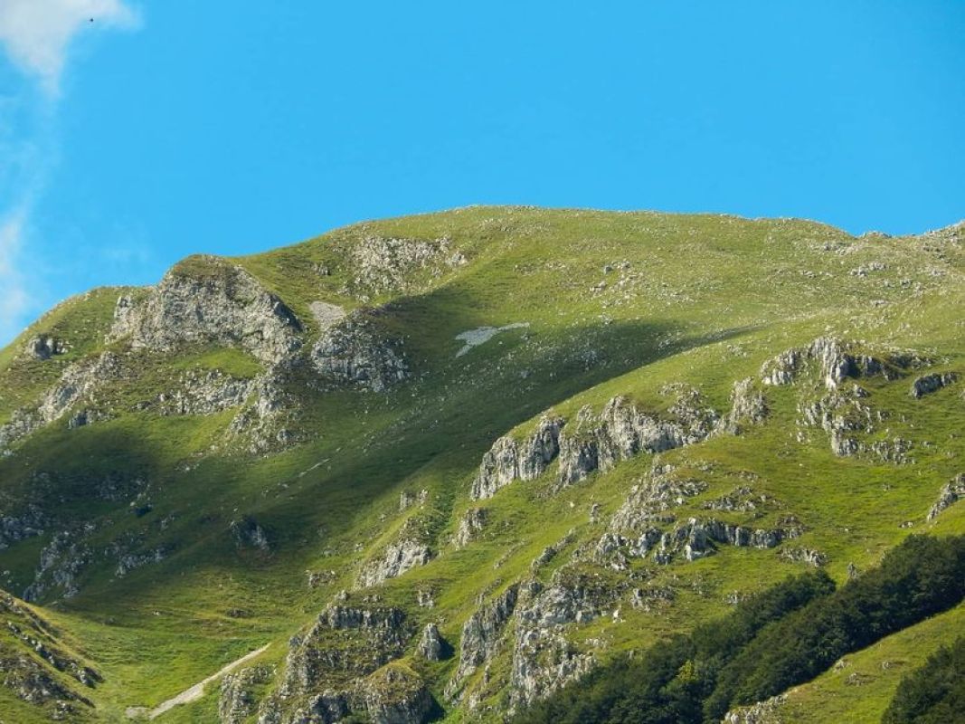
With a surface of over 1500 square kilometers, the limestone massif of Matese stretches between Molise and Campania and falls within the territory of four provinces.
For the ancients, it was the river of the myth, which gave forgetfulness to whoever drunk its water.
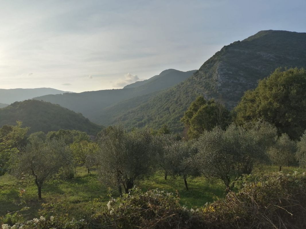
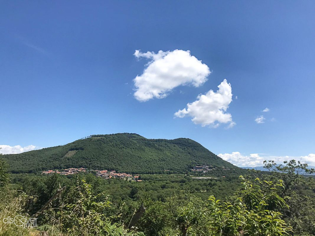
In the north-east of Campania Felix, separated from the Campania Apennines by the valley of the Medio Volturno, the massif of the Trebulani Mountains rises, also known as the Colli Caprensi.
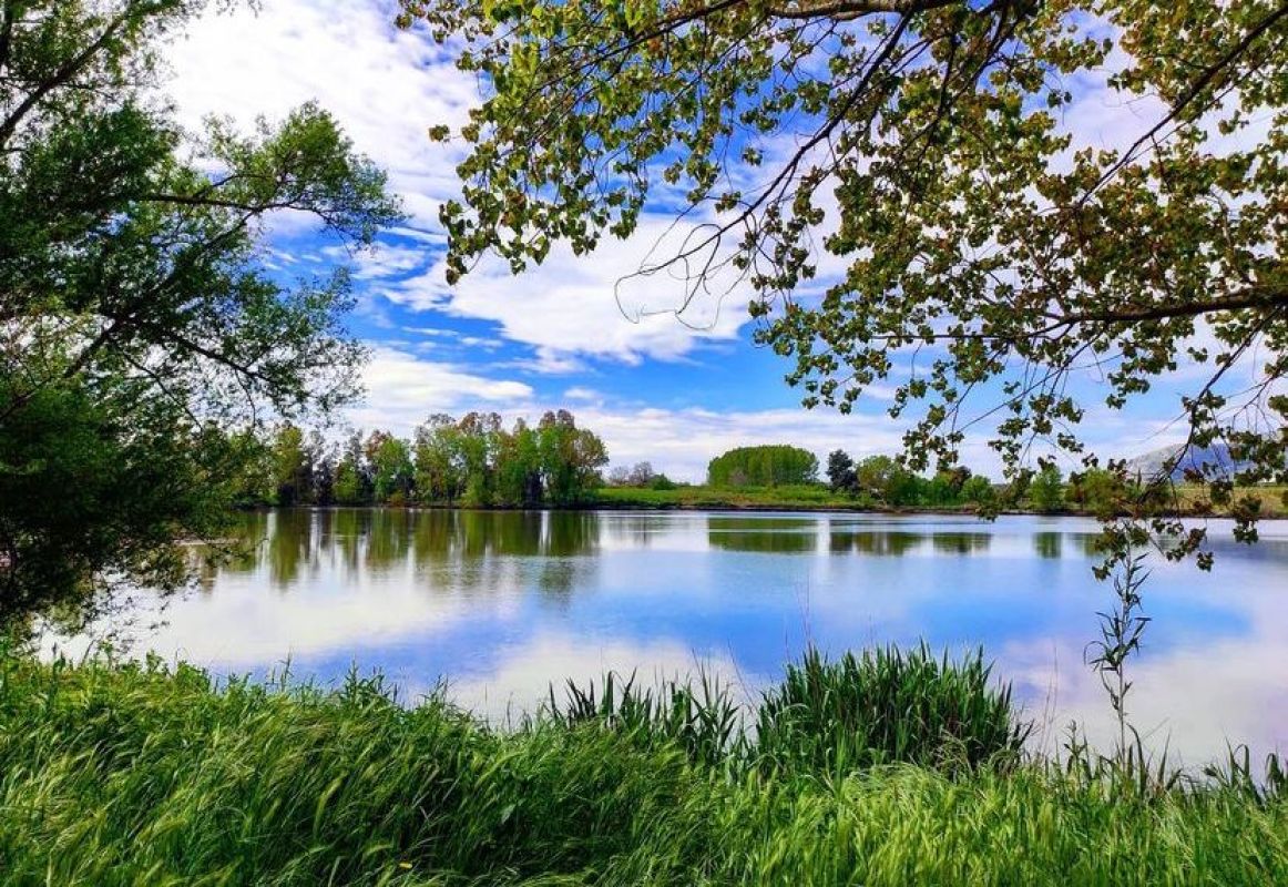
Once known as Lake of Carinola, it is a volcanic lake at the foot of mount Massico, in the municipality of Falciano del Massico.

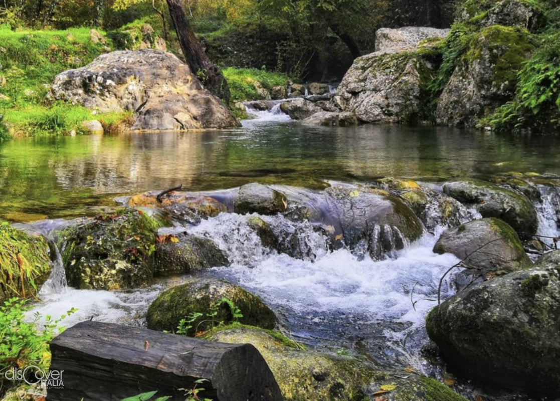
It rises at the foot of Mounts Trebulani, at 86 meters above sea level, in the territory of Calvi Risorta.
It is one of the favourite stopping points in the long spring migration from Africa to Central Eastern Europe on the Tyrrhenian route.
Copyright © 2026 - All rights reserved. Any type of reproduction, even partial, without permission is strictly forbidden.
![]()
![]()
![]()
![]()